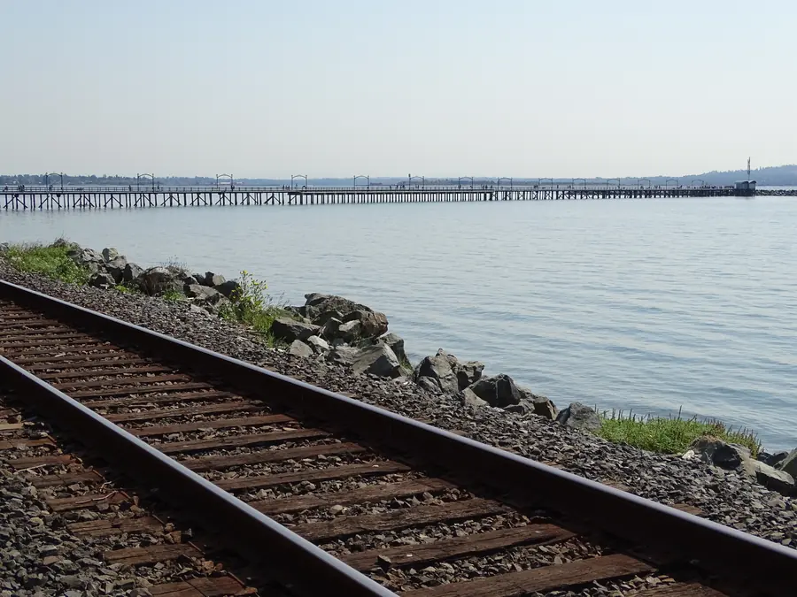
The promenade is 2,194 metres long and runs along almost the entire White Rock beach. It is the simplest way to connect multiple waterfront stops without moving a car.
When to go
For photographs and atmosphere, early morning and late afternoon are calmer than midday. For beach use, check the tide. For summer sunset, work backward from sunset and allow restaurant time.
How long to allow
A single stop can take 30–60 minutes. A meaningful waterfront combination usually needs two to four hours. Add a meal and beach time and the same area can comfortably fill half a day.
What belongs nearby
Best for a first visit, open bay views and sunset. Allow 30–45 minutes for the pier alone.
Use it to connect East Beach, P’Quals, the museum, pier and West Beach instead of moving the car.
A compact heritage stop in the former railway station. Pair it with the pier and P’Quals.
Brunch, cafés, shopping and the Sunday farmers market. Remember the steep return from the waterfront.
What visitors commonly get wrong
They move the car too often, underestimate the tide, or treat every “White Rock” attraction in online lists as being inside the municipality. Use the promenade as the connector and keep nearby Surrey trips separate.
Three promenade routes
Central loop · 45–60 min
Museum → P’Quals → pier entrance → Memorial Park. Good for visitors who want the waterfront without a long walk.
East-to-pier · 60–90 min
Begin around East Beach and Grand Chief Bernard Charles Memorial Plaza, then follow the shoreline west toward the museum and pier.
Full promenade · 90+ min
Walk the 2.19 km waterfront route at a relaxed pace, adding beach stops and a meal. Plan the return rather than assuming everyone wants to walk back.
Accessibility, dogs and the hill
The promenade itself is comparatively level; the challenge is getting back to an Uptown hotel, vehicle or restaurant above Marine Drive. Visitors with mobility limits can choose same-level parking or use taxi/rideshare for a one-way uphill return. Seasonal dog access runs from October 1 through March 31 on leash, while the pier remains off-limits to dogs.
Where to pause
Memorial Park is the natural central rest point. East Beach gives more open shoreline; West Beach gives more food choices. The museum is an easy indoor break when weather changes.
Research reviewed August 2026. Time-sensitive parking rates, opening hours, tides, events, border waits and transportation schedules should be verified with the responsible official source before travel.